| Location | Holtwood | Trail Type | Loop |
| Distance | 5 miles | Foot Traffic | Light to Medium |
| Difficulty | Moderate | Elevation Gain | 659 feet |
| Recommended for: | Beginners looking for a | challenge |
From the open wildflower and grass fields to the rhododendron tunnels and jungle vibe along a small tributary that leads to the Susquehanna river, Kelly’s Run Loop Trail is filled with hidden treasures. In the summer, it can be hard to spot all the signs of civilization and urban decay beneath the thick green leaves and flowers along the trail, but they’re there. As is the wild life — snakes, deer, and wild turkey are common sights in addition to the birds and the bees humming away in Pollinator Park.
The parts of Kelly’s Run Nature Preserve that are closest to the parking area are the easiest and most kid-friendly. But any kid (especially the kids at heart) will thoroughly enjoy getting their feet wet in the handful of creek crossings that are farther down the trail. Just make sure you have plenty of tread on your boots and prepare to get muddy.
The Trail
The trail starts at the pavilion next to the parking lot, where you can choose to begin hiking either clockwise (starting along the southern end of the loop) or counterclockwise (starting along the northern end). The trail is challenging either way, but I prefer the clockwise version, which starts with an easy 1-mile walk through a wide, open grass field and gets the less-thrilling road walk out of the way at the beginning of the hike.

In the summer, the tall grasses and beautiful milkweed blooms fill the meadow. This is a fantastic area to observe insects and watch for hawks and vultures flying above.

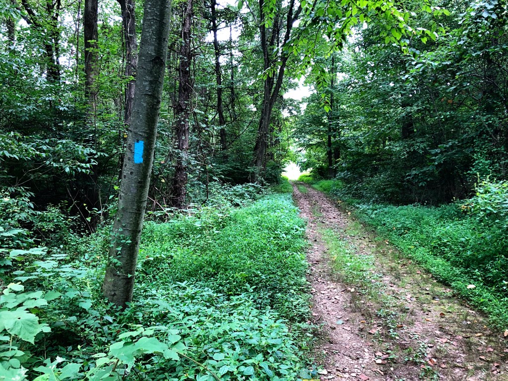
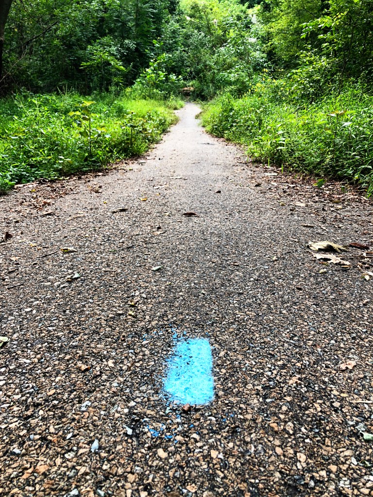
You’ll pass a few blue-blazed wooden posts as well as the junction for the Conestoga Trail (orange blazes) on your right at around the half-mile mark. Continue to the far side of the field.

At the end of the field, the path veers left, then right, and into the woods. In the summer, the brush can become overgrown here and the blazes aren’t always visible, but the trail is clearly cut, and quickly spits you out at the intersection of Old Pinnacle Road and an abandoned maintenance road around the 1.5 mile mark. Go around the yellow maintenance road gates and descend, with the Susquehanna River on your left. In the winter, when the trees are bare, you can see clear across the river, where a portion of the Mason-Dixon trail also parallels the river.
At the end of the abandoned maintenance road, you’ll see the remains of a bridge that’s since been roped off. The planking has also been removed, and the structure might not be stable anymore, so it’s best to take a right along the blazed path and down to Kelly’s Run, where you can rock hop to the other side and continue your hike. There are rocks and other areas where you can sit beside the Run to rest and do a little bird watching–American Goldfinches and other birds enjoy perching and nesting on the old bridge.

From there, the trail goes back up — passed the remains of an old stone wall, passed a number of small waterfalls and wading pools. Depending on how much it’s rained recently, Kelly’s Run might be a small but steady stream, or a loud, rushing force echoing off the surrounding stone walls and dense trees.

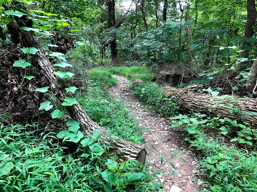
The trail is fairly easy to follow here alongside the stream, but it’s easy to lose the trail after a water crossing. Keep your eyes peeled for those blue blazes on the rocks and trees between banks.

You’ll pass enormous rock walls and beautiful rhododendron tunnels. My most recent trip in August included several large, downed trees — the result of recent storms in the area.

Around the 2.8 mile mark, you’ll come across the intersection with the Pinnacle Trail (white blazes). Continue following the blue blazes and begin your climb out of the small, jungle-like gorge.
At 3.8 miles, the ascent will get a little steeper as you move from the more into a wooded area of mostly oaks and maples. Look closely, though, and you might even find paw-paws growing overhead. There are tons of fantastic spots to hang a hammock and just enjoy the afternoon, if you’re so inclined.

Between the wooded areas, you’ll pass power-line clearings, and when you reach the 4-mile marker, you’ll see another intersection for the Conestoga Trail (orange blazes), which shares a path with the Kelly’s Run Trail for the remainder of the loop.

At the end of your ascent, around 4.5 miles, you’ll reach a wooden sign post marking both Kelly’s Run Loop and the Conestoga Trail. The woods will open into another field — the other side of Pollinator Park. Walk through the grassy field and return to the parking lot and pavilion, where you started.

Pollinator Park

This park was established as a wildlife area and safe habitat for pollinators such as bees and the monarch butterfly. The Lancaster Conservancy is partnering with PPL to turn 14 acres as well as the power-line clearing areas into a sustainable space for these important insects.
It’s a fantastic place to bring even really young ones to let them see these amazing bugs in action and to teach them how to identify different plants.
Directions & Parking
Address: T397, Holtwood, PA 17532 (39.84066, -76.3164)
There’s ample parking at the trailhead, as well as a large covered pavilion to grab a bite to eat or just rest. There are a couple port-a-Johns here as well.
Nearby Trails
- Conestoga Trail System (about 2 miles) — difficult out-and-back
- Pinnacle Trail (.41 miles) — difficult out-and-back

2 thoughts